
Satellite imagery reveals extent of damage to Kerch Bridge after latest Ukrainian strike
OSINT analyst Dnipro Osint shares satellite photos showing impact sites on the Kerch Bridge following a Neptune missile attack on the night of November 18 and 19.
By News Media House Staff ·
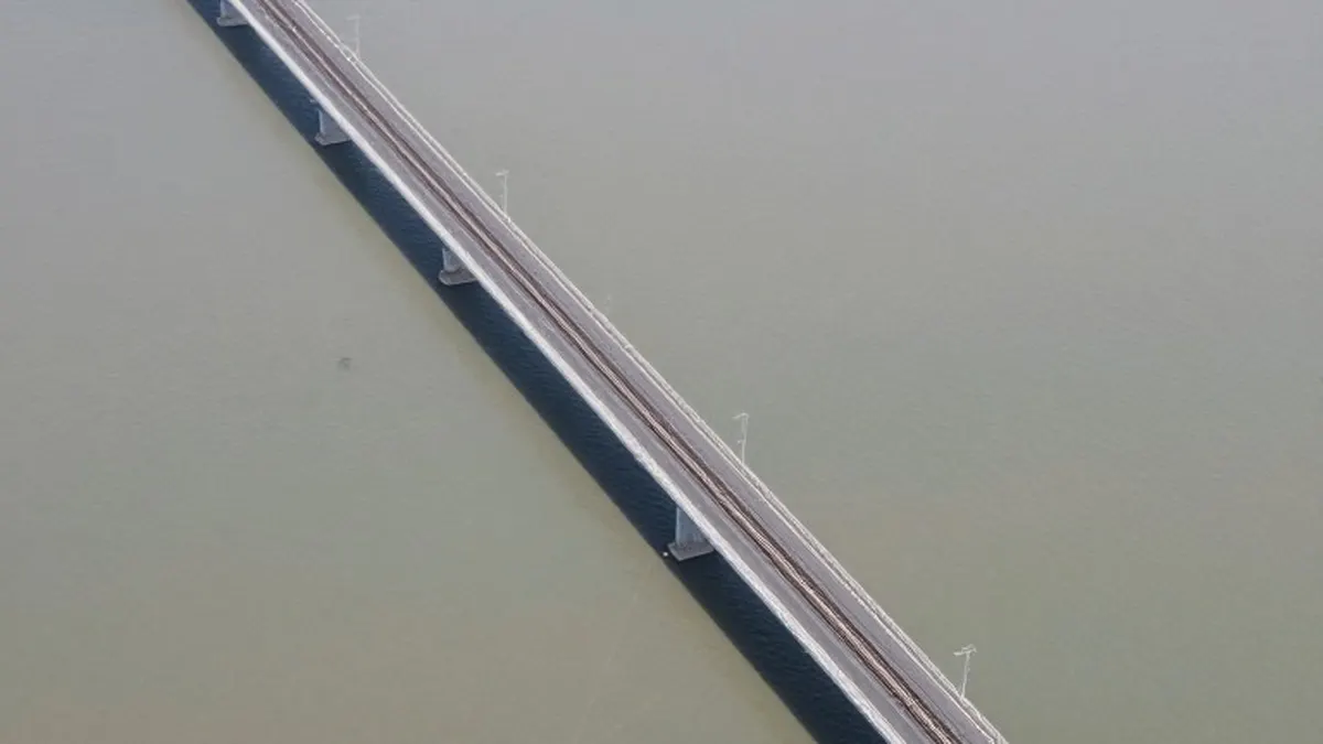
An open-source intelligence analyst identified as Dnipro Osint, who operates under the handle Harbuz, has published new satellite images of the Kerch Bridge. The photographs were captured after Ukrainian Neptune cruise missiles struck the structure on the night of November 18 and 19. The visual evidence highlights specific impact sites and the resulting damage to the critical crossing point.
In the released imagery, the analyst marked the precise locations of impacts on both the railway and the road sections of the bridge. In a statement accompanying the images, Harbuz noted that the photos show three distinct points of damage to the road surface. The analyst added that another two or three impacts were recorded on the railway section, which was likely targeted by the Neptune missiles during the overnight operation.
The General Staff of the Armed Forces of Ukraine confirmed the details of the attack. Officials stated that the Ukrainian Navy executed another strike on the Kerch Bridge using Neptune missiles on the night of November 18 and 19. The result of this operation was damage to the railway track, which forced authorities to halt traffic across the crossing entirely.
Ukraine's Ministry of Defence provided further context regarding the location of the hits. The ministry explained that impacts were recorded near the arch of the Kerch Bridge and along the railway tracks. Officials indicated that the full scale of the damage is currently being clarified as assessments continue.
This latest strike follows a series of intense operations on the bridge. Earlier reports indicated that Ukrainian defence forces carried out a combined strike on the Kerch Bridge on November 16 and 17. The structure serves as a vital link between temporarily occupied Crimea and Russia's Taman Peninsula.
During those previous days, Palianytsia drones struck the road section of the bridge, causing a portion of it to collapse. The railway section was targeted using a mix of Neptune missiles, Ruta and FP-1 drones, and a Flamingo missile. These coordinated efforts have significantly impacted the logistics and transportation capabilities across the Kerch Strait.
The Kerch Bridge has been a prominent target for Ukrainian forces seeking to disrupt supply lines. The use of various missile and drone systems in recent days demonstrates a multi-layered approach to attacking the infrastructure. The most recent engagement with Neptune missiles adds to the cumulative damage inflicted on the structure.
Independent analysts continue to play a key role in verifying the outcomes of these military operations. The CyberBoroshno OSINT project, for instance, recently reconstructed and visualized the chronology of the first stage of the Ukrainian attack on the bridge. Such efforts help provide a clearer timeline of events for the public and military observers.
The release of these satellite images by Dnipro Osint adds a visual dimension to the official statements from Ukrainian military bodies. By marking the specific impact points, the analyst offers concrete evidence of the strike's effectiveness. This information allows for a more detailed understanding of how the bridge's structural integrity has been compromised.
Traffic remains halted on the Kerch Bridge following the latest attack, underscoring the strategic importance of the crossing. As Ukraine continues to assess the scale of the damage, the bridge remains a focal point in the ongoing conflict. The combination of official confirmations and independent satellite analysis provides a comprehensive picture of the recent strikes on this key infrastructure.
Originally published by News Media House