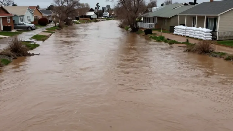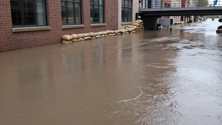
San Juan River forecast to crest at 19.71 feet in Pagosa Springs
The projected water level is nearly two feet higher than the record set by the destructive 1911 flood that destroyed much of the Colorado town.
By Connor Murphy ·
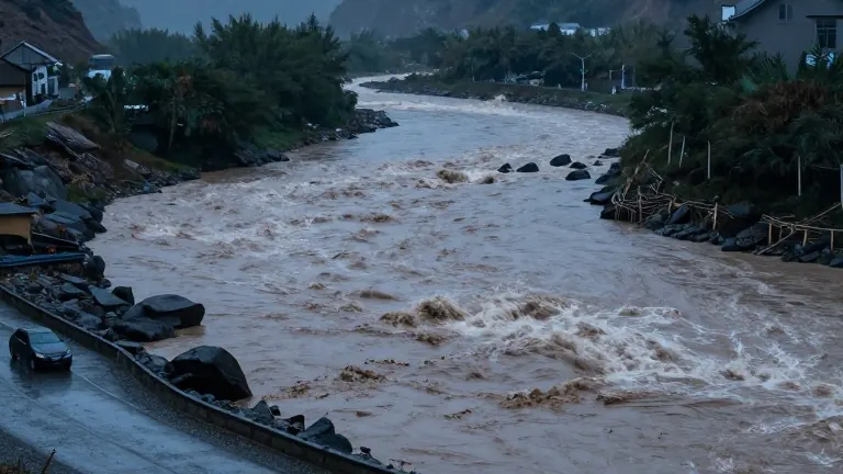
The San Juan River is expected to reach a peak of 19.71 feet in Pagosa Springs, Colorado, around 11 p.m. On Sunday. The Archuleta County Sheriff's Office issued this forecast in a social media post for the southwestern Colorado town, which sits near several ski resorts and has a population of more than 2,000. The water level is projected to rise nearly two feet above the 17.8-foot mark reached during the devastating flood of 1911. That historical event wiped out most of the structures that existed in the town at the time.
The sheriff's office described the current situation as a potentially catastrophic flood event and said extensive damage is expected. As of about 3:45 p.m. On Sunday, authorities asked residents to shelter in place. The Wolf Creek Ski Area announced it was closing as a precaution until the evacuation order was lifted. The area is expected to receive 3 inches of rain on Sunday, with up to 18 inches of snow falling in the mountains depending on elevation.
In New Mexico, the San Juan County Office of Emergency Management issued evacuation alerts on Sunday afternoon for anyone living within a half-mile of the Animas, La Plata, and San Juan rivers. The office posted on social media that the San Juan River was expected to rise overnight and urged residents near the water to get to higher ground. San Juan County spokesperson Devin Neeley said everyone is on heightened alert as of 4:40 p.m. Sunday, though no rescues had been reported at that time.
Neeley noted that prepositioned crews are standing by to address emerging problems, but the county is relying on the public to heed the warnings. He emphasized that residents have already seen damage from recent storms and should get out while they can to avoid the need for rescues. Neeley warned that areas which flooded previously will undoubtedly flood again, with impacts expected to be greater due to changes in the river channel and additional silt, sand, and debris in the riverbed.
Bloomfield resident Elvira Arviso said in a phone interview that she lives just under a mile from the San Juan River and is prepared to evacuate. She recalled recent floods coming within 200 yards of her home. Arviso described the current atmosphere as pretty scary, noting that everyone is on edge. Matt DeMaria, a National Weather Service meteorologist in Albuquerque, reported that the Chuska Mountains received about 1.8 inches of rain in 24 hours as of 5:30 p.m. Sunday. The Farmington area received up to 1.25 inches during the same period.
Parts of San Juan County are under a flood warning into Tuesday according to the National Weather Service. Rain is expected to continue into Monday, with wind gusts of up to 35 mph in some areas. Further east and south, the NWS Albuquerque office announced that the Jemez River above Jemez Pueblo and the Rio Chama are expected to reach the minor flood stage Sunday evening. The Rio Ojo Caliente below Madera was expected to reach the minor flood stage late Sunday into Monday morning.
This round of precipitation arrives as residents in northwest New Mexico begin recovering from widespread destruction caused by several inches of rain across the Four Corners region. The earlier flooding prompted President Donald Trump to approve Federal Emergency Management Agency aid for the area. The current storm system is adding stress to a region still dealing with the aftermath of recent heavy rains.
The combination of new rainfall and existing saturated ground conditions has led to the elevated threat levels across both states. Officials in both San Juan County and Archuleta County are monitoring the river levels closely through the night. The forecast for Pagosa Springs stands out as particularly severe given the proximity to the historic 1911 flood level.
Residents in both New Mexico and Colorado are being told to stay out of the water and move to higher ground if possible. The Wolf Creek Ski Area remains closed, and local authorities in Pagosa Springs are continuing to advise sheltering in place for those who cannot evacuate. The rain is expected to persist into Monday, keeping river levels high throughout the region.
More News · Albuquerque news · Report a business · Got a Story?