Albuquerque weather clears Tuesday as weekend rain returns
Storms fade from central New Mexico, but moisture from Mexico brings back thunderstorms by Thursday.
By Scott Marshall ·
Showers and thunderstorms continue tonight across south-central and eastern New Mexico.
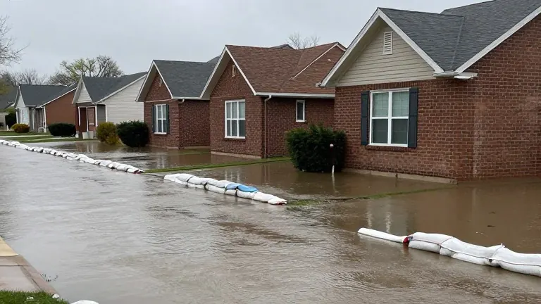
The large storm system that caused severe weather and flooding earlier this week has moved northeast into the central plains. A smaller disturbance remains active as it travels north from Mexico. This pattern keeps enough atmospheric moisture in place for wet conditions. Ruidoso, Roswell, Artesia, Carlsbad, Hobbs, Clovis, Portales and Santa Rosa may all see showers and thunderstorms.
Most of western and central New Mexico is drying out. Winds aloft are weaker now, making the atmosphere less conducive to organized severe weather. Most storms this evening will likely be typical showers and thunderstorms rather than severe events. Overnight, these storms will gradually become more showery. Light rain or drizzle may settle in around Ruidoso, Roswell, Artesia, Carlsbad, Hobbs, Clovis and Portales.
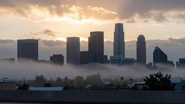
Albuquerque, Santa Fe, Gallup, Grants and Farmington should remain relatively quiet tonight. Patchy ground fog is likely to develop late tonight into Tuesday morning. This fog will form in low-lying valleys, areas with standing water and locations that received heavy rain in the past few days. Visibility could drop quickly in those spots, though the fog should stay patchy.
Some light rain or drizzle may linger through Tuesday morning across southeastern New Mexico, including Roswell, Artesia, Carlsbad, Hobbs, Clovis and Portales. Low clouds are expected to break apart by late Tuesday morning. By Tuesday afternoon, most of New Mexico will turn dry. Sunshine will return to a larger part of the state, and temperatures will warm by a few degrees.
Wednesday appears to be the quietest day of the week. No showers or thunderstorms are expected. Most communities should see temperatures close to normal, with some areas slightly above normal by afternoon. The pattern shifts again on Thursday. Southwest winds will pull moisture from a new disturbance moving north out of Chihuahua. This will bring showers and thunderstorms back to areas south of Interstate 40, including Ruidoso, Socorro, Roswell, Artesia, Carlsbad and Hobbs.
Storms may expand farther north Thursday night. Friday could bring shifting rain chances eastward, along with scattered showers and thunderstorms in western New Mexico, including Gallup, Grants and the western mountains. Confidence in the exact timing for Thursday and Friday remains low because weather models disagree. Saturday may turn quieter with only isolated showers. Another Pacific system may arrive from Sunday into Monday, bringing scattered to numerous showers, thunderstorms, increased winds, cooler temperatures and possible high-elevation snow.
Source: KOB · original report published