Rain returns to Albuquerque Friday evening
Forecasters expect light showers starting around 5 p.m., with most areas seeing less than a quarter-inch of rain.
By Connor Murphy ·
High pressure has weakened over northeastern New Mexico, allowing a new weather system to approach from the west. Forecasters say the next disturbance is moving into western and southwestern Arizona. It brings a plume of Pacific moisture that is increasing cloud cover across western and northwestern New Mexico. Central parts of the state are now seeing these clouds spread in as well.
Nearly 99% of the viewing area remained dry on Friday morning. The only exceptions were a few short-lived showers in Apache County, Arizona, and San Juan and McKinley counties in New Mexico. That dry spell is likely to end as the disturbance moves south and then east throughout the day.
Rain chances will rise during the day, with the highest coverage expected in the afternoon and evening. Southern New Mexico will see numerous to widespread rain showers. Western and central areas will experience isolated to scattered showers. A few isolated thunderstorms are possible in western New Mexico this afternoon, though atmospheric instability is limited.
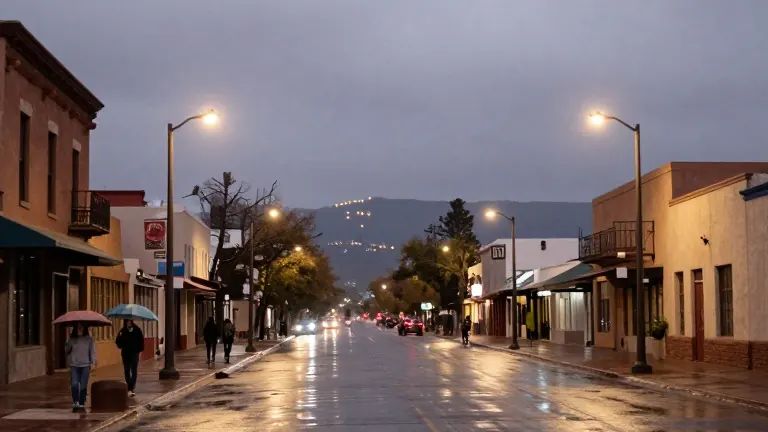
Albuquerque residents face a 10% chance of rain during the day and a 30% chance in the evening. Forecast models consistently indicate the possibility of rain for the city. Showers are most likely to develop between 5 and 10 p.m., though activity could start as early as 3 or 4 p.m. Rain chances should decrease closer to midnight.
The core of this system will remain outside New Mexico. It will track across northern Mexico before moving into Texas during the second half of the weekend. This system carries less moisture than recent storms that caused flooding. Most areas should see rainfall totals below a quarter-inch. A few locations with heavier showers might receive slightly more, but totals should generally stay below half an inch.
Snow is possible in western and southern New Mexico, with generally light accumulations. Higher elevations in the south-central mountains could receive 1 to 2 inches of snow. Isolated totals approaching 4 inches are possible, especially as temperatures drop this evening. Saturday will stay wet in much of southern New Mexico. Cloud cover will gradually decrease from north to south in northern and central parts of the state.
Rain should taper off by Saturday evening, leading to a sunnier and slightly warmer Sunday. A slight chance of lingering showers remains in far southeastern New Mexico on Sunday. Most of next week looks quiet with a gradual warming trend. Mornings will remain chilly, but afternoon highs should climb higher nearly every day.
A cold front might brush parts of eastern New Mexico between Tuesday and Wednesday. Uncertainty remains about its timing and how far it will extend. Beyond the next seven days, unsettled weather could return by Friday and into the following weekend as another potentially strong Pacific storm system approaches.
More News · Albuquerque news · Report a business · Got a Story?